UN
5 Woodway
£ 575,000
Description
We don't have a Description for this property.
- Bedrooms
- 2
- Bathrooms
- 0
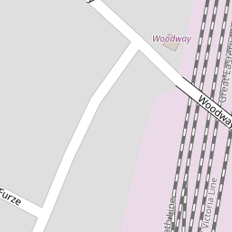


Leaflet © OpenStreetMap contributors
The heatmap indicates the level of crime in the area. The color of the heatmap indicates the crime severity and recency.
Metrics Year-on-Year
- Average area value
- 568,758.00 £Increased by 25.60 %
- Average area rental value
- 1,377.00 £/moDecreased by 5.81 %
- Est rental Yield
- 2.91 %Decreased by 24.81 %
- Crime Rate
- 4.00 %Unchanged by 0.00 %
from 452,849.00 £
from 1,462.00 £/mo
from 3.87 %
from 4.00 %
Nearby Schools
| Name | Type | Ofsted | Distance |
|---|---|---|---|
| Shenfield St. Mary'S Church Of England Primary School | Academy Converter | 1.11 KM | |
| The Endeavour Co-Operative Academy | Academy Special Converter | 1.15 KM | |
| Hogarth Primary School And Nursery | Community School | Good | 1.26 KM |
| Shenfield High School | Academy Converter | Good | 1.63 KM |
| Brentwood School | Other Independent School | 1.66 KM |
Images
Nearby Streets
| Name | Average Price | Average Sqft | Distance |
|---|---|---|---|
| Friar's Close | £ 2,037,500 | 0 | 0.00 KM |
| Kestrel Close | £ 362,500 | 0 | 0.00 KM |
| Baymans Woods | £ 1,000,000 | 0 | 0.00 KM |
| Saxon Close | £ 260,000 | 0 | 0.00 KM |
| Greyfriars | £ 2,150,000 | 0 | 0.00 KM |
Nearby Transport
| Name | NLC | TLC | Distance |
|---|---|---|---|
| Shenfield | 6888 | SNF | 0.83 KM |
| Brentwood | 6872 | BRE | 3.18 KM |
| West Horndon | 7466 | WHR | 6.48 KM |
| Ingatestone | 6882 | INT | 7.99 KM |
Nearby Listings
| Address | Price | Type | Score | Distance |
|---|---|---|---|---|
| Abbots Close, Shenfield, Brentwood | £ 650,000 | BUY | Unknown | 0.04 KM |
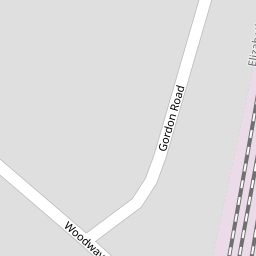
| Gordon Road, Shenfield, Brentwood | £ 260,000 | BUY | 5 / 10 | 0.09 KM |
| Gordon Road, Shenfield, Brentwood, CM15 | £ 500,000 | BUY | Unknown | 0.12 KM |
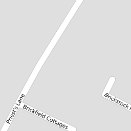
| Brickfield Cottages, Off Priest Lane, Shenfield | £ 625,000 | BUY | 8 / 10 | 0.14 KM |
| Brickfield Cottages, Priests Lane, Shenfield | £ 525,000 | BUY | 7 / 10 | 0.15 KM |
Nearby Properties
| Address | Price | Distance |
|---|---|---|
| 16 Woodway | £ 420,000 | 0.00 KM |
| 5 Woodway | £ 575,000 | 0.00 KM |
| 10 Abbots Close | £ 635,000 | 0.11 KM |
| 13 Abbots Close | £ 290,000 | 0.11 KM |
| 31 Abbots Close | £ 620,000 | 0.11 KM |